Poway, California 92064
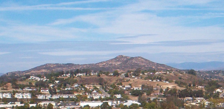
Twin Peaks mountain
Destination: Poway!
1971
Local History inks:
Poway Road History: Emery's Memories
Poway Road Automotive Businesses
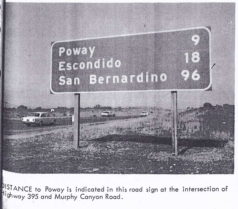
U.S. 395 & early Pomerado Road
Poway Chamber of Commerce on War Path
- 1962
U.S. 395 & Poway Road intersection -
1962 accident
graphic ~
Poway News comment
Poway Road - ameliorating sign clutter 1971
Metate Meadows
- Redevelopment Twin Homes - molasses style
Poway Walmart Super Center
- Manifest Destiny
Connor RB's "
Poway City Photo Archive
"
The Iron Company Gym
-Twin Peaks at Espola
Maps & Aerial Photos:
Poway USGS survey map 1854-1879 Note the areas labelled: "unsurveyable worthless"
Poway - early street map
- undated
Poway Road & Community Road vicinity aerial - 1956
Metate & Montauk Dairy 1940-50's
: 2 vanished streets: Prairie Drive to Grasslands Court
Poway Rd &
Pomerado
Rd
intersection vicinity 1965
-
Annotated by Mary Shepardson - hi res - can be magnified
Poway Rd &
Community
Rd
intersection
vicinity 1965
-
Annotated by Mary Shepardson - hi res - can be magnified
Poway Road corridor map 1977
Aerial 1979 above Tustin Hills & future Business Park
- towards Metate & Montauk & beyond to Pomerado
Updated 30 October 2023 Please
contact Derrick Garbell
with additions, corrections & comments